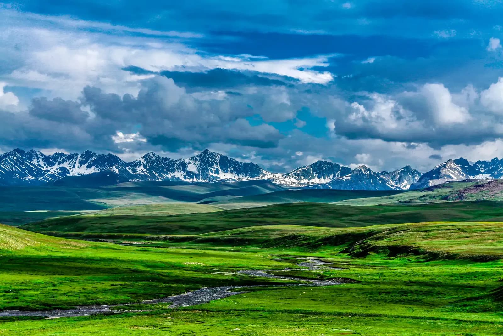
A mountain region, not one destination
Gilgit-Baltistan is the high mountain region of northern Pakistan where the Karakoram, Himalaya, and Hindu Kush systems meet. Travelers often know it through famous names: K2, Skardu, Hunza, Deosai, Baltoro, Fairy Meadows, Nanga Parbat, Khunjerab, Shigar, Khaplu, and the Karakoram Highway. In the field, it is more complex. Gilgit-Baltistan is a network of valleys, languages, districts, road systems, weather patterns, and mountain corridors. Each area has its own rhythm.
Skardu is the main gateway for Baltistan, the K2 corridor, Shigar, Khaplu, Deosai, Askole, and many Karakoram expeditions. Gilgit connects routes toward Hunza, Nagar, Ghizer, Astore, and the Karakoram Highway. Villages such as Askole, Hushe, Arandu, Shimshal, Hopper, and others are not only scenic points. They are operational gateways where road access, local staff, permits, weather, and mountain conditions shape the journey.
Geography and scale
Distances in Gilgit-Baltistan can be deceptive. A route that looks short on a map may take many hours because roads follow rivers, cliffs, landslide zones, and high passes. Valleys are deep, side roads are exposed, and weather can change the plan quickly. A bridge repair, rockfall, flood channel, or road construction delay is not unusual. Good itineraries leave space for these realities.
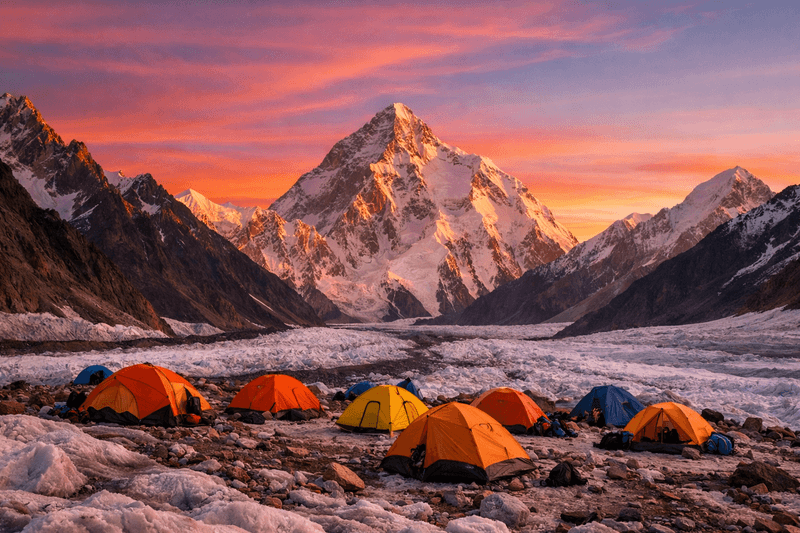
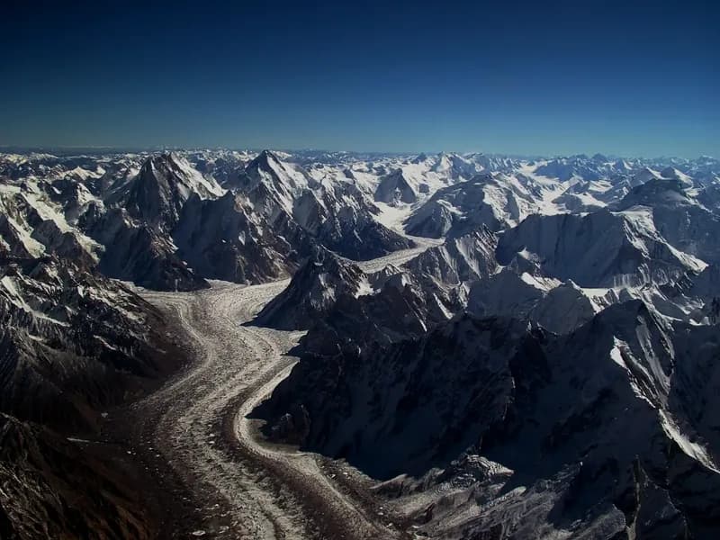
The region contains some of the world's highest concentrations of major peaks and large glaciers. The Baltoro, Biafo, Hispar, Siachen, Batura, and other glacier systems define both geography and travel. This is why expedition travel here feels different from ordinary mountain tourism. The terrain is not arranged for convenience. It is powerful, raw, and logistically demanding.
Main gateways
- Skardu: gateway for Baltistan, K2 Base Camp, Baltoro, Shigar, Khaplu, Deosai, and Askole-side expeditions.
- Gilgit: gateway for the central road network, Hunza, Nagar, Ghizer, Astore, and Karakoram Highway travel.
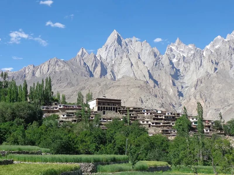
- Hunza and Nagar: major cultural and mountain travel areas with access to viewpoints, glaciers, and high valleys.
- Astore: important for Nanga Parbat approaches, Rama, Deosai access, and western Himalayan landscapes.
- Khaplu and Hushe: gateways for eastern Baltistan, Masherbrum views, and several climbing and trekking routes.
Best seasons
The main trekking and expedition season usually runs from late spring through early autumn. June to September is the core operating window for many high Karakoram routes, including Baltoro and K2 Base Camp. Lower cultural tours can sometimes operate across a broader range, depending on roads and weather. Deosai often opens later because snow can remain on the plateau into early summer.
- May: useful for lower valleys and early-season cultural travel; high routes may still hold snow.
- June to August: main season for Baltoro, K2 Base Camp, high treks, and mountaineering expeditions.
- September: often clearer and quieter, with colder nights and shorter days.
- October: good for some cultural and lower valley travel, but colder and less reliable for high routes.
- Winter: beautiful but specialized; many roads, passes, and remote routes can be closed or impractical.
Flights, roads, and buffer days
Flights to Skardu and Gilgit are spectacular, but they are weather-dependent. When flights operate, they save time and energy. When they are cancelled, road travel becomes the backup. The road journey is possible but long, and it can be affected by landslides, construction, and seasonal conditions. Travelers should avoid planning international departures too tightly after returning from remote routes.
Buffer days are not wasted days in Gilgit-Baltistan. They are part of responsible planning. They protect the trip from weather delays, road closures, permit timing, altitude issues, and the simple fact that remote mountain travel does not always run on city time.
Permits and paperwork
Permit requirements depend on route, nationality, objective, and whether the journey enters restricted or regulated areas. Mountaineering expeditions, peaks above certain thresholds, border-sensitive valleys, trekking routes in restricted zones, and some glacier systems may require licensed operator support, formal permit applications, insurance details, group lists, passport copies, and advance processing time.
A serious operator will ask for documents early. This is not paperwork for its own sake. In remote terrain, permits connect to rescue planning, legal access, environmental responsibility, security coordination, and the protection of both guests and local staff. Travelers should avoid relying on old internet posts because rules, fees, and procedures can change.
Culture and local respect
Gilgit-Baltistan is culturally diverse. Balti, Shina, Burushaski, Wakhi, Khowar, and other languages and identities are part of the region. Religious practice, dress expectations, village privacy, and hospitality traditions vary from valley to valley. Visitors should arrive with humility and curiosity rather than assumptions.
- Dress modestly, especially in villages and public markets.
- Ask before photographing people, homes, ceremonies, or private work.
- Use local guides and staff where possible; they carry the real knowledge of routes and communities.
- Avoid loud behavior in villages, camps, and religious spaces.
- Treat water sources, fields, and grazing areas as shared community resources.
Altitude and health
Many visitors underestimate altitude because some early travel is by vehicle. Skardu is already high enough for some travelers to notice changes in sleep, hydration, appetite, and energy. Deosai, Khunjerab, Baltoro, high passes, and expedition base camps go much higher. Altitude should be treated seriously even on trips that are not technical climbs.
- Move steadily and avoid racing on early trekking days.
- Report headaches, nausea, dizziness, poor sleep, or unusual fatigue to guides early.
- Hydrate regularly, but do not force excessive water without electrolytes and food.
- Protect yourself from sun; UV is strong at altitude and around snow or ice.
- Carry personal medication and insurance that matches your route altitude and remoteness.
Responsible travel
Tourism brings income, but it also brings pressure. Waste, water use, porter treatment, road congestion, cultural disrespect, and poorly planned trips all leave marks. Responsible travel in Gilgit-Baltistan means using local teams fairly, minimizing trash, respecting village boundaries, paying attention to load weights, and accepting that the region is home before it is a destination.
The best journeys create mutual respect between guests and hosts. A traveler who listens well, packs carefully, pays fairly through proper operators, and moves patiently will usually experience far more than a traveler trying to consume as many famous places as possible in the shortest time.
Final field note
Gilgit-Baltistan rewards travelers who arrive prepared but flexible. Roads bend around rivers, villages keep their own rhythms, weather has authority, and mountains set the terms. Plan carefully, respect local communities, leave room for delays, and give the region enough time to reveal itself.
End of field note
Continue your research.
Browse all notes