
In this field note7 sections +Close −
Modern expeditions carry better maps, satellite messengers, weather models and digital tracks than any previous generation. These tools are valuable. None can decide by itself whether a river is crossable, a moraine line remains efficient, a village bridge can take a loaded animal or a team should move before dawn.
Local mountain knowledge is not a mystical instinct. It is accumulated, tested information about terrain, seasons, people and operations. It grows through repeated journeys and through conversations between guides, porters, drivers, farmers, cooks and other teams. It is strongest when combined with current data and honest uncertainty.
A GPS track records the past
A track shows where a device travelled on a particular date. On an active glacier, the surface may later move, collapse or expose a new channel. On a valley road, erosion or a landslide may end vehicle access before the previous stopping point. Following the line more precisely does not make it more current.
Experienced local teams use old tracks as evidence, then compare them with today's surface. They watch fresh debris, stream colour, snow firmness, animal movement and reports from teams ahead. The decision is updated rather than inherited blindly.
Forecasts need terrain interpretation
A regional forecast cannot describe every wind funnel, shaded snow slope or cloud barrier between Skardu and a glacier camp. Local experience helps translate a forecast into operating choices: when to leave, which crossing may rise, where wind will affect tents and how much reserve time or fuel is sensible.
This does not make experience infallible. Climate and land use can change old patterns. Good local professionals are not those who claim certainty; they are those who notice when established assumptions no longer match the field.
Knowledge includes people and logistics
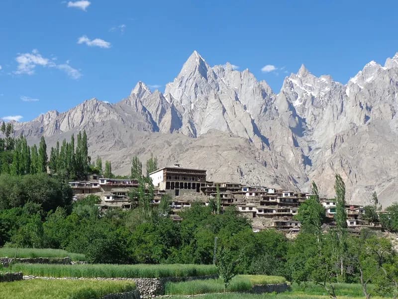
An expedition moves through inhabited valleys before it enters high wilderness. Local planning knows who can repair a vehicle, how porter recruitment interacts with harvest or community events, where cargo can be stored, which authority handles a permit and who needs immediate information after an incident.
These relationships are part of safety. A satellite telephone can send a message, but a functioning response still needs trusted people to understand it, arrange transport, contact family, mobilise workers and coordinate with relevant authorities.
Route knowledge is more than navigation
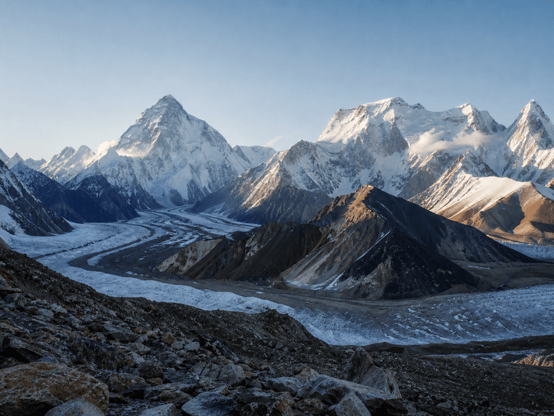
On the Baltoro, knowledge includes camp-water routines, moraine options, porter stages and where rockfall exposure increases. On Biafo and Snow Lake, it includes crevasse patterns, snow bridges, roping decisions and the consequences of retreat. On Gondogoro La, it includes current rope condition, snow loading, timing and the ability to abandon the crossing.
No guide should guarantee a route because it was crossed many times before. The value of knowledge is visible in the decision to change the plan.
How knowledge is passed on
Young staff learn through supervised work: packing and weighing loads, reading camps, supporting communications, observing senior decisions and gradually taking responsibility. Families and villages pass on names, seasonal patterns and stories, while professional systems add first aid, technical training, written records and modern forecasting.
Paying local staff fairly supports this transfer. When tourism extracts labour at the lowest price, experienced workers leave or cannot invest time in training. Hiring local is therefore connected to the future quality of mountain safety.
The right relationship between technology and experience
- Use forecasts to prepare scenarios, then verify conditions.
- Use GPS for position and record keeping, not automatic permission to proceed.
- Use satellite communication within a rehearsed response chain.
- Record local observations with date and location so they become better evidence.
- Give field leaders authority to change the advertised plan.
The question is never technology or local knowledge. A strong expedition uses both and understands the limits of each.
Frequently asked questions
Can an experienced foreign leader replace a local guide?
International leadership experience is valuable, but it does not replace current local access, staffing, permit and route knowledge. The strongest teams integrate both.
Is local knowledge always correct?
No source is always correct. Good decisions compare multiple observations, current data and conservative margins.
Why does this matter more under climate change?
Changing snow, water and route conditions can weaken historic assumptions, making frequent local verification and documented observations even more important.
End of field note
Continue your research.
Browse all notes